Global Geoarchaeology: theory and practice (prosponed)
Global Geoarchaeology: theory and practice
Date: PROSPONED
Location: TBA
Credits: 2 ECTS
Teachers: Dr. Ian A. Simpson (i.a.simpson@btinternet.com) and Dr. Sjoerd J. Kluiving (s.j.kluiving@vu.nl)
Geoarchaeology is a growing and evolving research discipline at the intersection between geomorphology, environmental history and archaeology (Butzer, 2008). Geoarchaeology as a research field continues to grow as analyses and techniques more typically used in earth and environmental sciences are shown to have use in interpreting the archaeological record (Diskin et al, 2013). Geoarchaeology is ‘the science that studies geo-bio-archives in an archaeological context by also considering historical and archaeological data sources in its syntheses’; it emphasizes a multidisciplinary role, as a sub-discipline of geomorphology, between the geosciences and cultural sciences (Engel & Brückner, 2014). Geoarchaeology provides insights into landscape reconstructions, human behaviours, and cultural processes that are a backdrop to landscape change (Kluiving et al, 2015). In this course, a toolbox is presented to study geoarchaeological research problems in a range of cultural and environmental contexts.
Objectives:
This research-led course gives theoretical and practical frameworks for interpreting soils, sediments and landscapes as records of the past and provides training in field and laboratory methods that identify, quantify and evaluate early human activities and environmental imprints. These understandings and skills contribute to new landscape histories in different regions of the world. This work offers important and challenging perspectives on how interpretations of soils and sediments contribute to how people lived with and adapted to environmental change and has resonance with contemporary debates on sustainability, resilience and heritage management.
Learning outcomes:
- Understanding the principles of interpreting landscapes and sediment stratigraphies as records of the past.
- Understanding the contributions of landscape studies and sediment analyses in the interpretation of key aspects of landscape history including multi-scale and multi-topical cartographic analysis, sediment description (from outcrop, core and lacquer peel), coring practice, as well as micro-morphological observations.
- Ability to integrate landscape histories and sedimentary evidence with inter-disciplinary sources, including documentary, archaeological and environmental information, to address broader issues of society – environment change interactions.
- The module provides a foundation for research-based field and laboratory Dissertation and Thesis topics in geoarchaeology and landscape history.
Acquired skills:
- Competence in the application of science-based methods to answer archaeological research questions.
- Competence in the description, analyses and interpretation of soils and sediments from archaeological contexts.
- Competence in cross-disciplinary approaches applied to society-environment interactions.
Programme:
Monday 28 March, 9.00 – 17.00. Concepts and applications
Introduction to the programme
Session 1: ‘Reading global’ soils and sediments.
Videos with activities on geoarchaeology toolkits.
Session 2: Regional Geoarchaeologies – case studies.
Regional case study. North-west European and Mediterranean geoarchaeologies.
Regional case study. Videos with activities, North Atlantic homefields.
Session 3: Integrating geoarchaeology into archaeology research programmes – your own research programmes.
Tuesday 29 March, 09.00-17.00 Integrating field and laboratory in geoarchaeology, Tyndrum historical lead mine
Introduction
Session 4: Asynchronous Field programme, mapping ‘made ground’ describing stratigraphies.
Session 5: Asynchronous Laboratory programme, working with thin section micromorphology, SEM-EDX and pXRF.
Session 6: Concluding session.
Wednesday 30 March, 09.00-17.00 Archaeology in North-west European soil-scapes
Session 7. Synchronous Mapping exercise and laquer peel descriptions NW Europe soils.
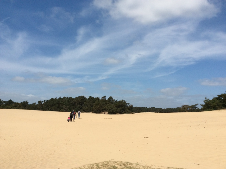
Session 8: Wekeromse Zand (Pleistocene and Holocene records) and Amstelveen (Holocene records).
Session 9: Student presentations, Research programme updated with learned material.
Assessment:
Submission 1: Apply geoarchaeology toolkits to your research programme, report and presentation (50%)
Submission 2: Online blog presentation, highlighting key themes from the module. (50%)
In total 2 ECTS credits can be obtained for attending all days, and completing the assignments.
Registration: TBA

