Drone Archaeology Course
Drone Archaeology Course
Date: You can do this course online at your own pace, whenever you want!
Location: Preferably at your own place, stay in, stay safe!
Credits: 1 ECT
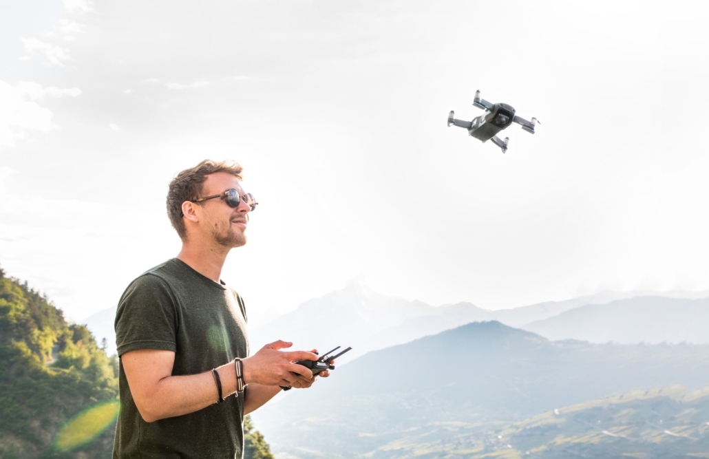
What can drones do for archaeology? This course will provide the stepping stone for those wishing to deploy drones in archaeology, for either research purposes or commercial activities.
It will cover subsequently:
- Drones for archaeology: an introduction placing drones in archaeological practice, discussing research and documentation deployment and explaining possibilities and limitations
- A closer look on the tools and systems: a technical explanation of the drones and available sensors (multirotor, fixed wing, main components of the multirotor drone, cameras/thermal sensors), briefly (and generally) touching on regulations on the level of NL and EU (certification, airspace classification, operation protocols, safety)
- Operations and data: data capturing strategies (flying missions, using ground control, ground sample distance, etc.)
- A case study applying drone photogrammetry with an existing dataset.
To work!
This Drone Archaeology course is designed as a series of presentations on the use of drones in archaeology, and a practical skill course (session IV) for using Pix4DMapper 4.6.2 for photogrammetric processing of drone collected imagery. Anyone can take the course, but we can only award EC credits to ARCHON members.
The course consists of four parts, that can all be accessed through the following link:
Part 1: https://www.youtube.com/watch?v=6KzKVJeesu8&list=PL4MLi78ue6XqMJCKygD9kyZ4nokTBgihi
The training data can be found here:
https://surfdrive.surf.nl/files/index.php/s/RRX8XEGP6v1Y79w/download
Assignment:
ARCHON members can receive 1 ECT by writing a reflective report and including the practical assignment in session IV. Please send your assignment to secretary@archonline.nl.

